• img

    Skytech

    Surveying Services and Drone process for mapping or 3D reconstruction

    SPECIALIZED CONSULTANCY IN SURVEYING, MAPPING AND ROAD DESIGN.

  • img

    Discover our solutions

    Sign-in NOW!!!

    WE OFFER A WIDE RANGE OF SERVICES, FROM HIGH PRECISION TOPOGRAPHIC SURVEYS TO CONSTRUCTION MONITORING.

  • img

    LIDAR SCAN MAP 3D

    HIGH-PRECISION RECONSTRUCTED MODELS.

  • img

    AERIAL PHOTO AND VIDEO FOR REALTOR

    Photography and video for Realtors

  • img

    SURVEYING - ORTHOMOSAIC MAP 2D

    IT IS AN IMAGE LIKE GOOGLE MAPS BUT WITH A HIGHER PRECISION AND RESOLUTION.


¡Explore

Our services!

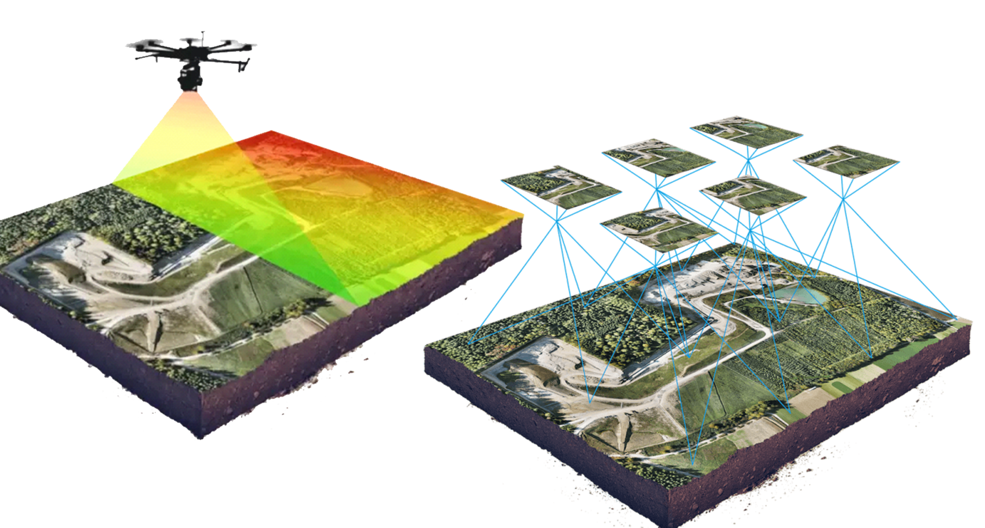
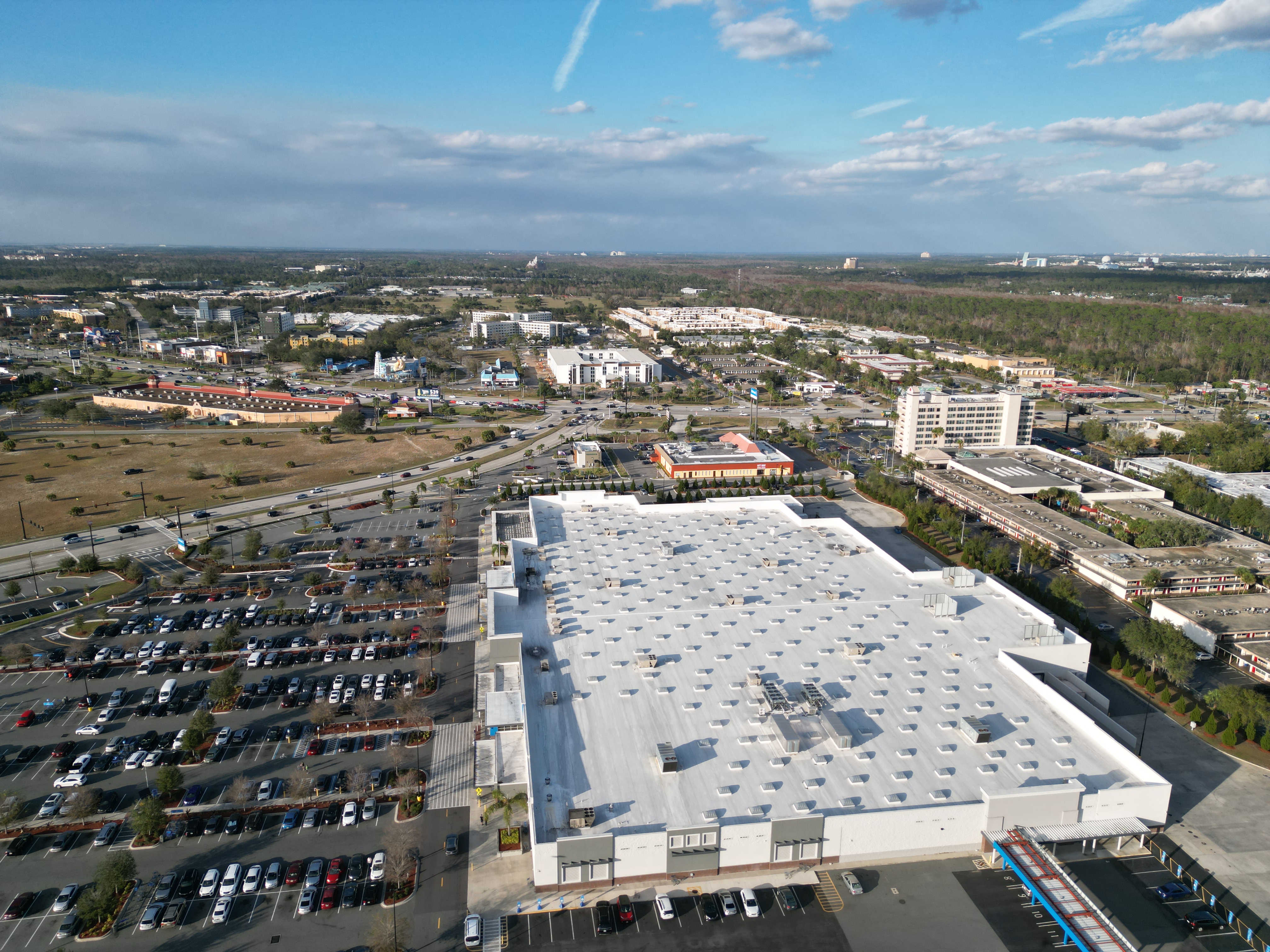
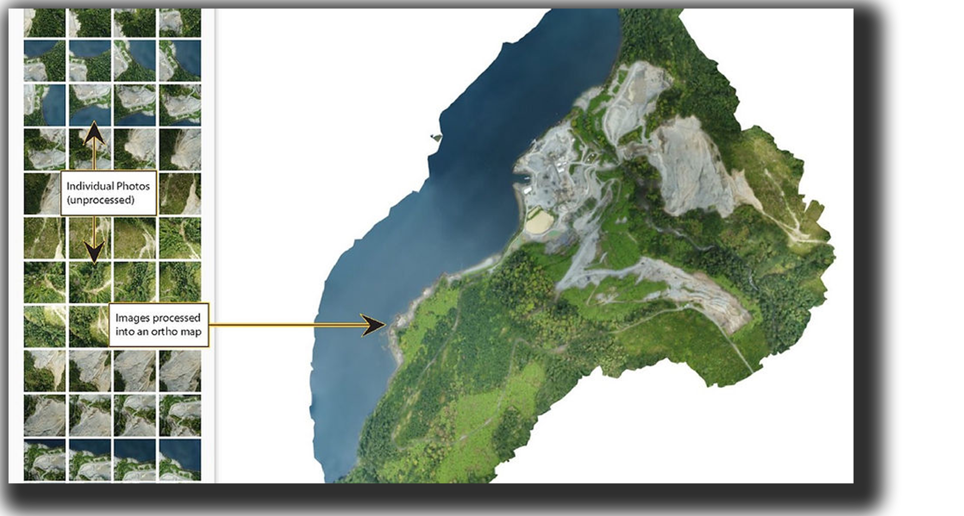
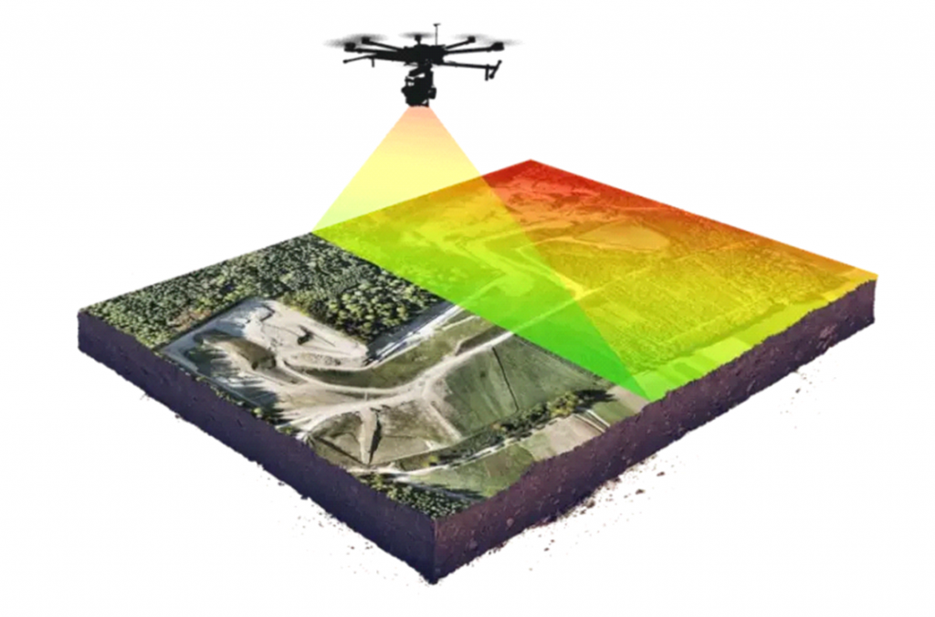
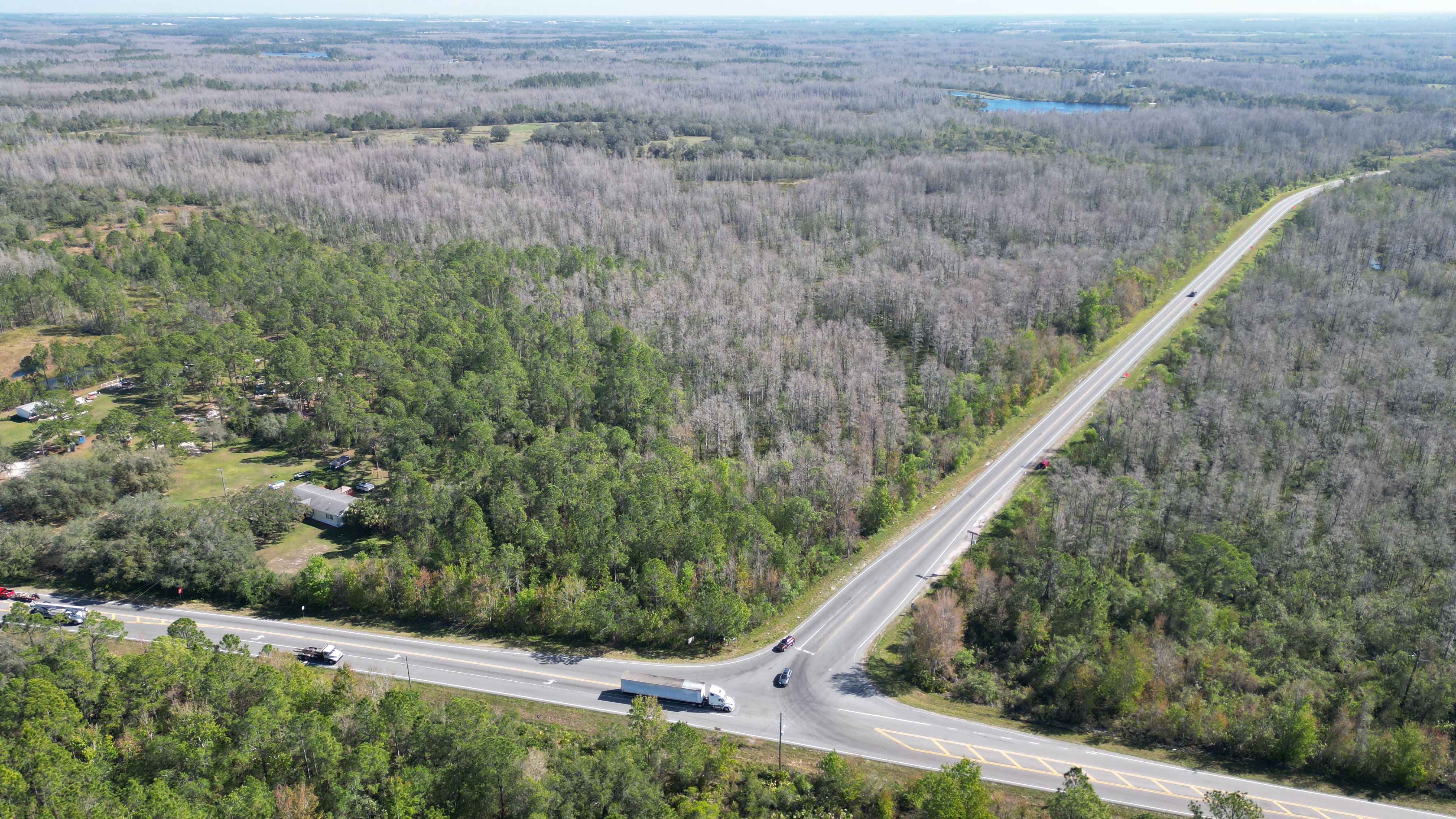
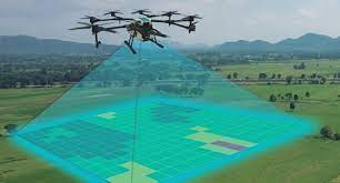
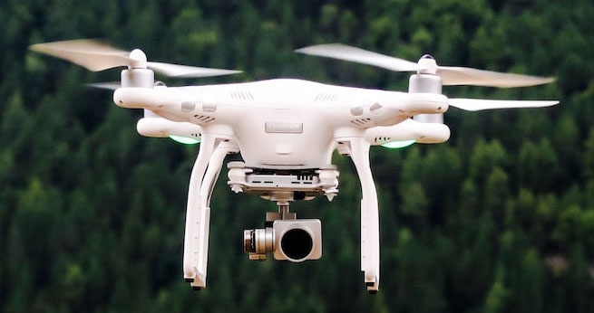
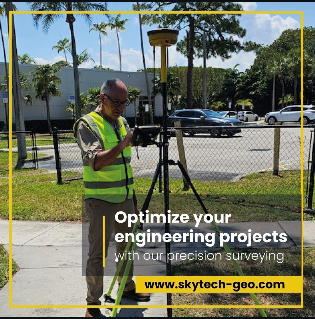
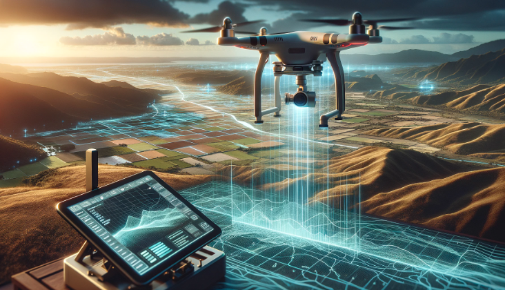
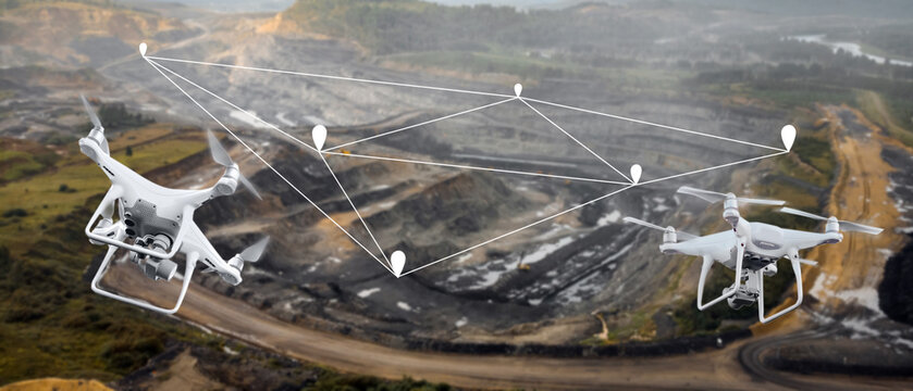
We are Skytech, and our mission is to help your business grow with greater agility and confidence in your sales, evaluation, and project development processes. We stand at the forefront of information technologies, leveraging tools such as Total Stations, Drones, RTK GPS, specialized software, and above all, the expertise of our engineering team. You can rely on us to provide innovative ideas and effective solutions for your projects. Let’s start working together today.
Service and Products

Advantages

About our service


Advanced flight features


High quality camera


Durable design


Accurate and detailed data


Enhanced security


Collect high-quality data in a short period of time

It's time to

Embrace the future

We offer a comprehensive range of surveying services, from high-precision topographic surveys to 3D modeling and construction monitoring, leveraging cutting-edge technology to deliver accurate and efficient results.
See Catalog

Our News & Blog

You Will Love It

See more